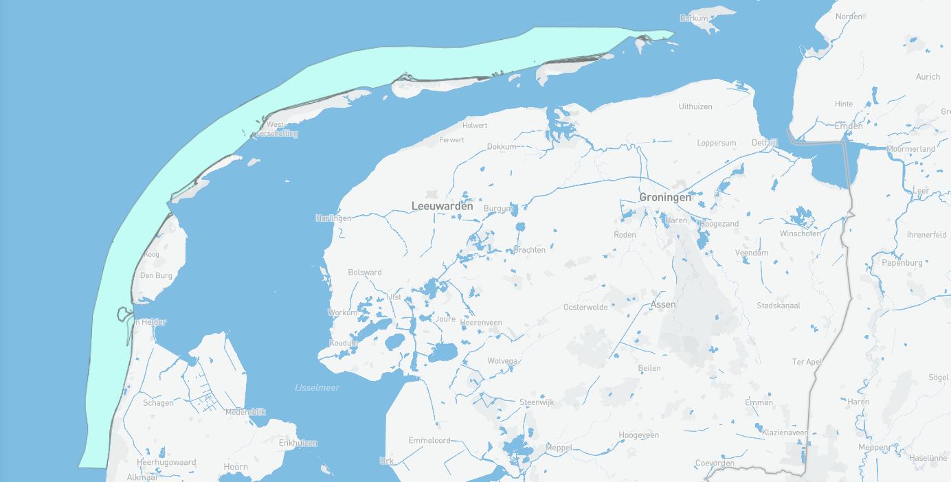
Habitatkarteringen Noordzeekustzone T1
In het kader van Natura2000 worden gebiedsdekkende habitatkarteringen opgebouwd voor gebieden die zijn aangewezen als habitatrichtlijngebied. Deze worden conform de profieldocumenten https://www.natura2000.nl/profielen/habitattypen afgeleid van verschillende bronnen. Bronnen zijn vegetatiekarteringen van Rijkswaterstaat en andere terreinbeheerders, waterplantenkarteringen, dieptegegevens, ecotopenkaarten, topografische kaarten en luchtfotos. Door incompleet bron-materiaal kunnen T0-kaarten fouten bevatten. Rapportages zijn vindbaar via https://open.rws.nl/open-overheid/onderzoeksrapporten/
Simple
- Date (Publication)
- 2021-02-08
- Status
- Completed
- GEMET – INSPIRE themes, version 1.0
-
-
biota
-
habitatrichtlijn
-
- Use constraints
- Geen beperkingen
- Access constraints
- Other restrictions
- Use limitation
-
Geen beperkingen
- Spatial representation type
- Vector
- Denominator
- None
- Metadata language
- Nederlands; Vlaams
- Topic category
-
- Biotisch
))
- Unique resource identifier
- EPSG:28992
- Distribution format
-
-
gml+xml
(
3.2.1
)
-
gml+xml
(
3.2.1
)
- OnLine resource
-
Wadden Viewer
(
WWW:LINK-1.0-http--link
)
Bekijk deze data in de Wadden Viewer
- OnLine resource
-
RWS N2000 Habitatkaarten
(
WWW:LINK-1.0-http--link
)
Meer informatie is te vinden het RWS dataregister
- OnLine resource
-
Download
(
WWW:LINK-1.0-http--link
)
Download deze data via de Wadden viewer
- OnLine resource
-
N2K_HK_7_Noordzeekustzone_T1_v3_20221028
(
OGC:WMS
)
WMS
- OnLine resource
-
n2000_habitatkaarten:N2K_HK_7_Noordzeekustzone_T1_v3_20221028
(
OGC:WFS-1.0.0-http-get-capabilities
)
WFS
- Hierarchy level
- Dataset
Conformance result
- Date (Publication)
- 2010-12-08
- Explanation
-
This data set is conformant with the INSPIRE Implementing Rules for the interoperability of spatial data sets and services
- Pass
- Yes
- Statement
-
Afgeleid conform profieldocumenten uit vegetatiekarteringen, waterplantenkarteringen, dieptegegevens, ecotopenkaarten, topografische kaarten en luchtfoto's.
- File identifier
- cIJ5vx5IRcqJ03RrJWQH-w XML
- Metadata language
- Nederlands; Vlaams
- Character set
- UTF8
- Hierarchy level
- Dataset
- Date stamp
- 2024-08-07
- Metadata standard name
-
ISO19115
- Metadata standard version
-
Nederlands metadata profiel op ISO 19115 voor geografie 2.0.0
Overviews
Spatial extent
Provided by