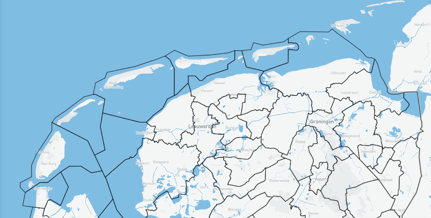
Gemeentegrenzen
Overzicht van de bestuurlijke indeling van Nederland in gemeenten en provincies alsmede de landsgrens. Gegevens zijn afgeleid uit de Basisregistratie Kadaster (BRK).
Simple
- Date (Publication)
- 2024-01-29
- Status
- Planned
- GEMET – INSPIRE themes, version 1.0
-
-
Grenzen
-
Gemeenten
-
Gemeentegrens
-
Administratieve grenzen
-
- Use constraints
- Geen beperkingen
- Access constraints
- Other restrictions
- Use limitation
-
Geen beperkingen
- Denominator
- None
- Metadata language
- Nederlands; Vlaams
- Topic category
-
- Menselijke medegebruik
))
- Unique resource identifier
- EPSG:28992
- Distribution format
-
-
gml+xml
(
3.2.1
)
-
gml+xml
(
3.2.1
)
- OnLine resource
-
Wadden viewer
(
WWW:LINK-1.0-http--link
)
Bekijk deze data in de Wadden viewer
- OnLine resource
-
Nationaal Georegister
(
WWW:LINK-1.0-http--link
)
Beschrijving op het Nationaal Georegister
- OnLine resource
-
Download
(
WWW:LINK-1.0-http--link
)
Download de data via de Wadden viewer
- OnLine resource
-
accessPoint
(
OGC:WMS
)
WMS
- OnLine resource
-
accessPoint
(
OGC:WFS-1.0.0-http-get-capabilities
)
WFS
- Hierarchy level
- Dataset
Conformance result
- Date (Publication)
- 2010-12-08
- Explanation
-
This data set is conformant with the INSPIRE Implementing Rules for the interoperability of spatial data sets and services
- Pass
- Yes
- Statement
-
Gegevens zijn afgeleid uit de Basis Registratie Kadaster (BRK)
Overviews
Spatial extent
Provided by